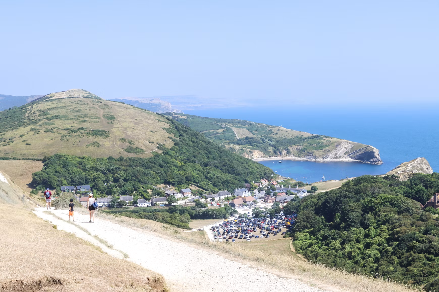
A coastal walk can look straightforward on a map. The line follows the sea; the view supplies the motivation; a station, village or car park seems to provide a convenient finish. On the ground, the same route may include steep repeated climbs, an outgoing bus that never returns, a beach cut off by the tide or a cliff edge made less obvious by mist.
Good planning does not sterilise the walk. It creates enough margin for the enjoyable detours.
Begin with the finish
Before studying viewpoints, decide how the day ends. Circular routes simplify transport, but many of Britain’s best coastal sections are linear. If using public transport, check the final realistic service rather than the most convenient service. Sunday and winter timetables may differ, and rural buses can be infrequent.
Build a fallback: an earlier exit point, a taxi number saved before signal disappears, or enough daylight to walk to the next settlement. If driving, confirm that the car park allows the length of stay and will still be accessible when you return.
Measure effort, not only distance

Ten coastal miles can feel very different from ten level miles. Repeated descents into coves and climbs onto headlands add effort that a headline distance hides. Mud, sand, shingle and stone steps slow progress. So do photography, lunch and standing still to look at the sea—which is part of the point.
Look at elevation, terrain and escape points. Choose a pace based on the slowest member of the group, then add a margin. Turning back is a planning decision, not a failed expedition.
Check tide-dependent sections
If any part of the route uses a beach, causeway, estuary crossing or tidal path, consult an official local tide table and route advice. Note the relevant location: tide times vary around the coast. Understand whether the published time is high or low water and how much safe margin the local authority or route manager recommends.
Do not assume that a visible beach will remain passable. Rising water may remove the exit before it covers the section underfoot. If the safety of the route depends on arriving within a narrow window, identify a non-tidal alternative before setting out.
Treat cliffs as changing ground
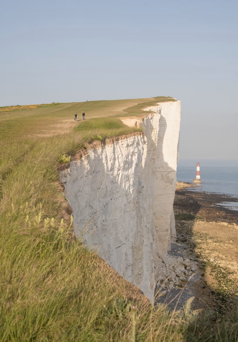
Cliff edges and bases are dynamic, not fixed architectural features. Erosion can create overhangs, cracks and fresh falls. Stay on the signed path, obey closures and keep well back from edges. Do not sit beneath cliffs or investigate a recent fall.
Photography creates a particular temptation. A wider view is not worth stepping backwards towards an unseen edge. Stop, look around, establish a secure position and then take the picture.
Read more than one forecast
Check the Met Office forecast and local warnings close to departure. Pay attention to wind, visibility, rain and temperature rather than the weather icon alone. Strong wind is more consequential on an exposed headland than in town; fog can make route-finding and cliffs more hazardous; sunshine with a sea breeze can conceal the strength of ultraviolet exposure.
Carry clothing for a change in conditions. The forecast helps make a decision; it does not remove the need to observe what is happening.
Navigation and communication
Use an up-to-date map or reliable mapping service and understand the route markings. Download the relevant map for offline use, but do not make a single phone your only plan. Battery, damage and signal can all fail.
Tell someone where you are going, the intended route and when you expect to return. Carry a charged phone, ideally with a power bank. On the coast, call 999 or 112 and ask for the Coastguard in an emergency.
Respect the place
The Countryside Code asks visitors to respect everyone, protect the environment and enjoy the outdoors. Follow local signs, leave gates as found, take litter home and keep dogs under effective control. Around livestock, cliffs and wildlife, a short lead may be necessary.
At the coast, distance matters to wildlife. Approaching resting seals or nesting birds for a closer picture can cause stress and disturb feeding or breeding. The scene is often better when it is allowed to remain a scene.
A repeatable planning sheet
Before leaving, write down:
- start, finish and planned direction;
- distance, ascent and expected walking time;
- daylight and a turn-around time;
- tide constraints and the source checked;
- forecast and warnings;
- transport details and last dependable service;
- two escape points;
- water and food availability;
- offline map and emergency contact plan; and
- local closures, access restrictions or wildlife advice.
Share the essentials with the person expecting you back.
Leave room for the detour
The aim is not to schedule every bench and sandwich. It is to remove avoidable surprises so that the good ones—the unexpected view, quiet cove or café that deserves an extra half-hour—can be enjoyed without turning the journey home into a race.
Plan the route, respect the conditions and keep enough time in reserve to look outward.
Related travel guides
- What to pack for a UK day walk
- How to find cheap flights from the UK in 2026
- Package holiday vs DIY: which offers better value?
Browse this section
Move naturally through the Trips & Hobbies articles or jump back to the section overview.
Previous in Trips & Hobbies
You are at the start of this section.
Next in Trips & Hobbies
What to pack for a UK day walk: a useful list for changeable weather
Sources and further reading
- GOV.UK: The Countryside Code
- GOV.UK: Marine and coastal wildlife code
- Wales Coast Path: safety advice
- Cornwall Council: South West Coast Path safety
- Met Office: outdoor weather advice
Source check: 23 August 2026. Always check local closures, tides and weather immediately before a walk.
Featured image credit: Photo by Kamsin Kaneko on Unsplash.